
The Land Between the Lakes is a U.S. Forest Service maintained National Recreation Area located between Lake Barkley and Kentucky Lake in western Kentucky and northwestern Tennessee. A road known as "The Trace" runs north-south through the park, and US 68/KY 80 passes east-west through the park. The Between the Lakes Canal, a canal between the two lakes, bounds the northern edge of the park. The Trace continues north as KY 453 and crosses the canal via the Between the Rivers Memorial Bridge.
These pictures were taken on July 20, 2003 by Jeffrey Carlyle.
Related news topics: [Calloway County] [KY 453] [KY 80] [Lyon County] [Marshall County] [Trigg County] [US 62] [US 641] [US 68]
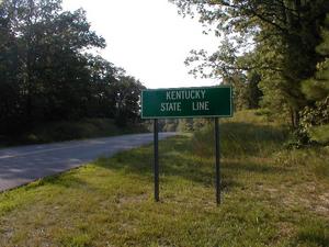 Description: Entering Kentucky on "The Trace." Full image size: [640x480 81.82KB] | 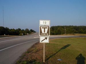 Description: The intersection between "The Trace" and US 68/KY 80. Full image size: [640x480 46.23KB] |
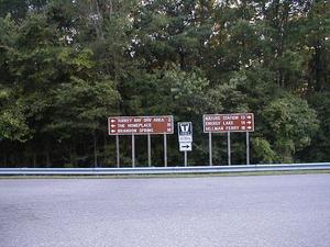 Description: Entering The Trace from US 68/KY 80. Full image size: [640x480 98.21KB] | 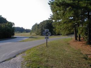 Description: Exit from The Trace to US 68/KY 80. Full image size: [640x480 66.37KB] |
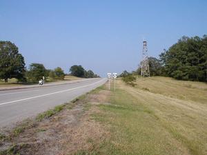 Description: Looking east on US 68/KY 80 at The Trace. Full image size: [640x480 57.69KB] | 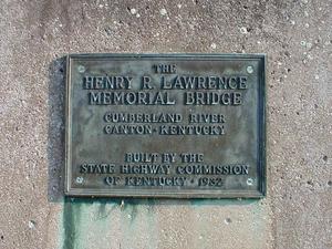 Description: Plaque honoring the Henry R. Lawrence Memorial Bridge carrying US 68/KY 80 over Lake Barkley. Full image size: [640x480 120.66KB] |
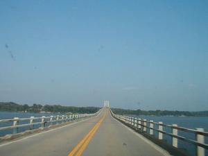 Description: Heading east on the Henry R. Lawrence Memorial Bridge, the US 68/KY 80 bridge over Lake Barkley Full image size: [640x480 30.71KB] | 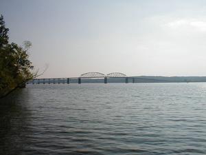 Description: The Henry R. Lawrence Memorial Bridge carrying US 68/KY 80 over Lake Barkley. Full image size: [640x480 44.84KB] |
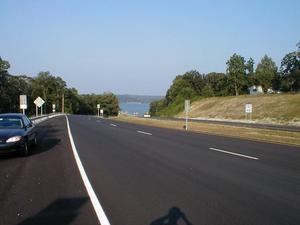 Description: The end of the recently completed four lane highway on the approach to the US 68/KY 80 bridge over Kentucky Lake. Full image size: [640x480 43.73KB] | 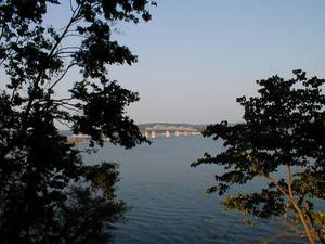 Description: The US 68/KY 80 Eggner's Ferry Bridge over Kentucky Lake viewed from Kenlake State Park. Full image size: [640x480 75.28KB] |
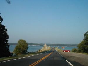 Description: Approaching the US 68/KY 80 Eggner's Ferry Bridge over Kentucky Lake from the west. Full image size: [640x480 33.93KB] | 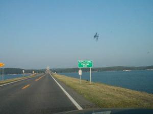 Description: Approaching the US 68/KY 80 Eggner's Ferry Bridge over Kentucky Lake from the west. Full image size: [640x480 32.08KB] |
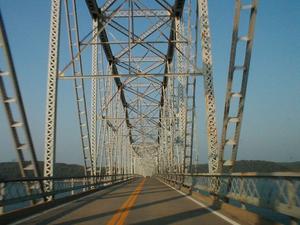 Description: Heading west on US 68/KY 80 over Kentucky Lake Full image size: [640x480 68.18KB] | 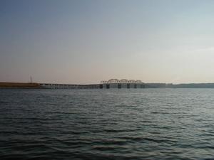 Description: US 68/KY 80 Eggner's Ferry Bridge over Kentucky Lake viewed from the Land Between the Lakes. Full image size: [640x480 40.35KB] |
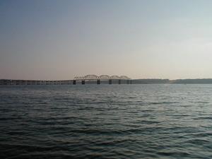 Description: US 68/KY 80 Eggner's Ferry Bridge over Kentucky Lake viewed from the Land Between the Lakes. Full image size: [640x480 42.05KB] | 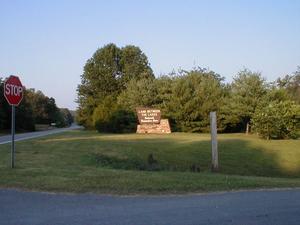 Description: Western entrance to the Land Between the Lakes National Recreation Area on US 68/KY 80. Full image size: [640x480 53.03KB] |
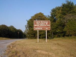 Description: The words "Tennessee Valley Authority" have been removed from this sign notifying travelers that they are nearing the visitor center. Full image size: [640x480 68.60KB] | 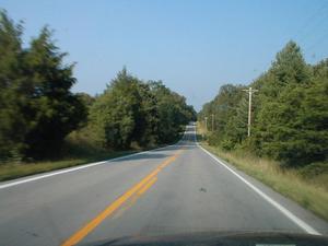 Description: A typical section of US 68/KY 80 through the Land Between the Lakes. Full image size: [640x480 46.15KB] |
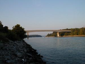 Description: The Between the Rivers Memorial Bridge over the canal connecting Lake Barkley and Kentucky Lake. Full image size: [640x480 40.25KB] | 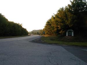 Description: The Trace continues north from the park as KY 453. Full image size: [640x480 51.19KB] |
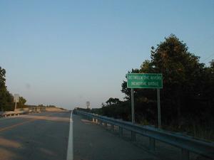 Description: "Between the Rivers Memorial Bridge" Full image size: [640x480 36.77KB] | 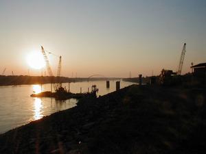 Description: Looking from Kentucky Dam towards I-24's suspended arch bridge over the Tennessee River. Full image size: [640x480 32.55KB] |
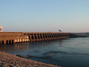 Description: Kentucky Dam. US 62 and US 641 traverse the rim of the dam. Full image size: [640x480 45.05KB] | 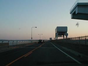 Description: Heading west on US 62/US 641 over the Kentucky Dam. Full image size: [640x480 29.34KB] |
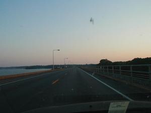 Description: Heading west on US 62/US 641 over the Kentucky Dam. Full image size: [640x480 25.38KB] |
Featured Items: [About this Site] [Hal Rogers Parkway] [Clay's Ferry Bridge] [Glen Lily Road Overpass] [Suggested Links] [Travel Information] [William H. Natcher Bridge]
| Copyright © 2001-2023 by Jeffrey Carlyle. All rights reserved. This website is not associated with any government agency. |